 Geobru catalogue
surface water
Type of resources
Available actions
Topics
INSPIRE themes
Keywords
Contact for the resource
Provided by
Formats
Representation types
Update frequencies
Scale
-
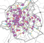
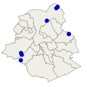
Brussels-Capital Region : location of the different surface water quality monitoring sites under the Water Framework Ordonnance and Directive. Surface waters concerned are surface water bodies: Canal, Senne and Woluwe. Monitoring involves a series of chemical, physico-chemical parameters... The code and the name of the monitoring site are given.
-
Brussels-Capital Region : This map depicts elements exposed to potential flooding.
-
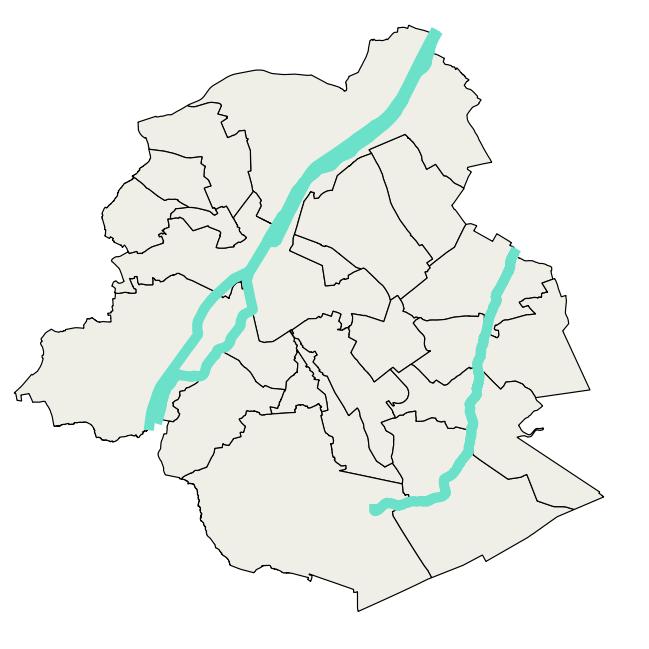
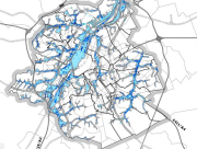
Brussels-Capital Region : data on the 3 Surface Water Bodies of the Area of Brussels, defined under the Directive and the Ordinance Water : code European, code of Brussels and name of the water mass, hydrographic district.
-
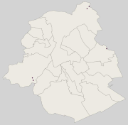
Brussels-Capital Region : location of the different surface water quality monitoring sites under the Water Framework Ordonnance and Directive. Surface waters concerned are surface water bodies: Canal, Senne and Woluwe. Monitoring involves a series of chemical, physico-chemical parameters... The code and the name of the monitoring site are given.
-
Brussels-Capital Region : location of the different surface water biological quality monitoring sites under the Water Framework Ordonnance and Directive. Surface waters concerned are surface water bodies: Canal, Senne and Woluwe. Monitoring involves a series of biological parameters.
-
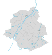
Brussels-Capital Region: Dataset including the watercourse network, drainage bassin and surface waters of the Brussels capital Region. The dataset is presented as a GML compliant with the requirements of the European INSPIRE directive.